
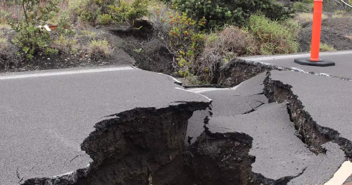
In late October 2026, Mexico experienced a noticeable surge in seismic activity, with multiple earthquakes surpassing a magnitude of 4.0 shaking the nation. This recent cluster of tremors has primarily affected the southern and southwestern regions of the country, specifically targeting the coastal states of Guerrero, Oaxaca, and Chiapas. While Mexico is historically accustomed to the rumblings of the earth, this concentrated wave of moderate seismic events has kept both residents and local authorities on high alert, serving as a stark reminder of the region’s inherent geological volatility.
The National Seismological Service (SSN) recorded a series of notable telluric movements within a highly compressed timeframe. On October 25 alone, 4.0 magnitude earthquakes were documented near Matías Romero in Oaxaca, San Marcos in Guerrero, and Ciudad Hidalgo in Chiapas. The tremors varied significantly in their underground origins; for instance, the quake in Oaxaca struck at a profound depth of 111.1 kilometers, while the one off the coast of Chiapas occurred much closer to the surface at just 17.5 kilometers deep. In subsequent days, the seismic swarm persisted, eventually peaking with a stronger 4.6 magnitude event recorded near Arriaga, Chiapas.
Despite the frequency and moderate intensity of these recent seismic events, state and federal authorities have fortunately reported no significant material damages or human casualties. The highest concentration of these movements was distinctly centered in Chiapas, which saw numerous consecutive records in areas close to Mapastepec, Cacahoatán, and Cintalapa. Oaxaca and Guerrero followed closely behind, registering dozens of localized shocks across various municipalities. The lack of structural devastation is largely attributed to the moderate magnitudes of the quakes and the fact that several occurred at significant depths, which naturally dampens the shaking intensity felt on the surface.
The underlying cause of this relentless seismic activity is deeply rooted in Mexico’s complex and dynamic geographical location. The national territory sits directly atop a highly active tectonic framework where five major tectonic plates constantly interact: the North American, Pacific, Caribbean, Rivera, and Cocos plates. The continuous friction, collision, and subduction among these massive geological structures make the southern Pacific coast of Mexico one of the most seismically active zones on the planet. This continuous and necessary release of accumulated subterranean energy is exactly what translates into the daily tremors experienced by the populations of these southern states.
In response to the ongoing seismic swarm, organizations such as the National Center for Disaster Prevention (Cenapred) and local Civil Protection agencies have aggressively reiterated their safety protocols to the public. Authorities consistently urge citizens to maintain their composure and rely solely on official information channels to prevent the dangerous spread of rumors or fake news following a noticeable tremor. Furthermore, officials emphasize the critical importance of continuous civilian preparedness, recommending that all households participate in regular evacuation drills, identify structural safe zones within their environments, and keep a well-stocked emergency backpack readily available at all times.